By the CALeDNA laboratory technician extaordinare, Teia Schweizer
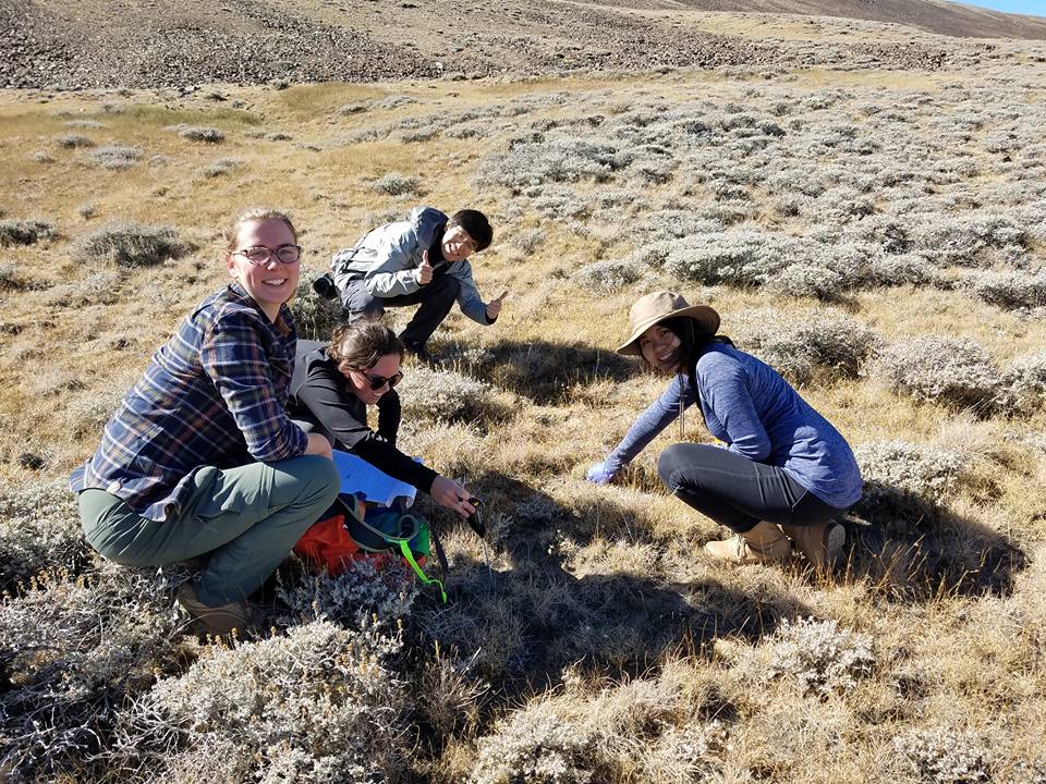
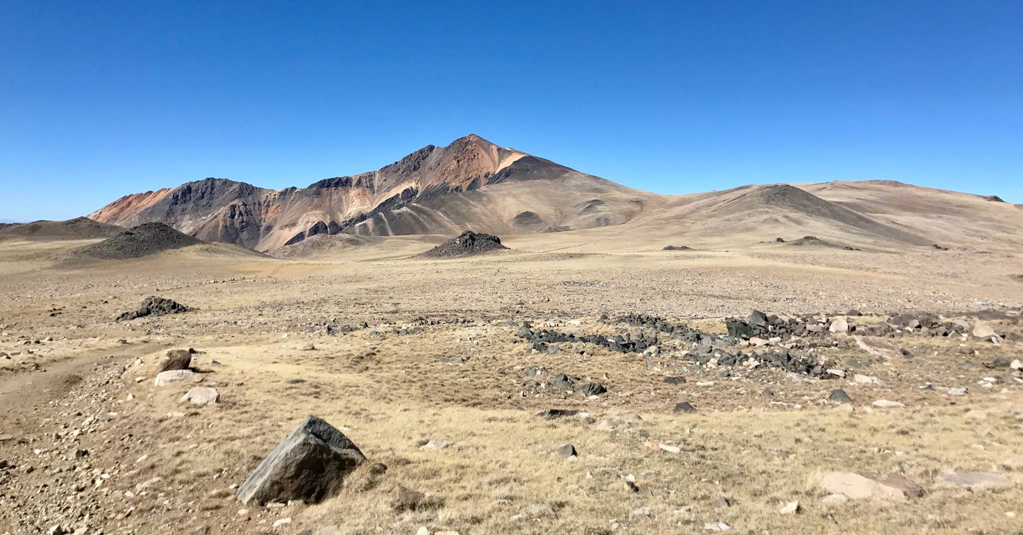
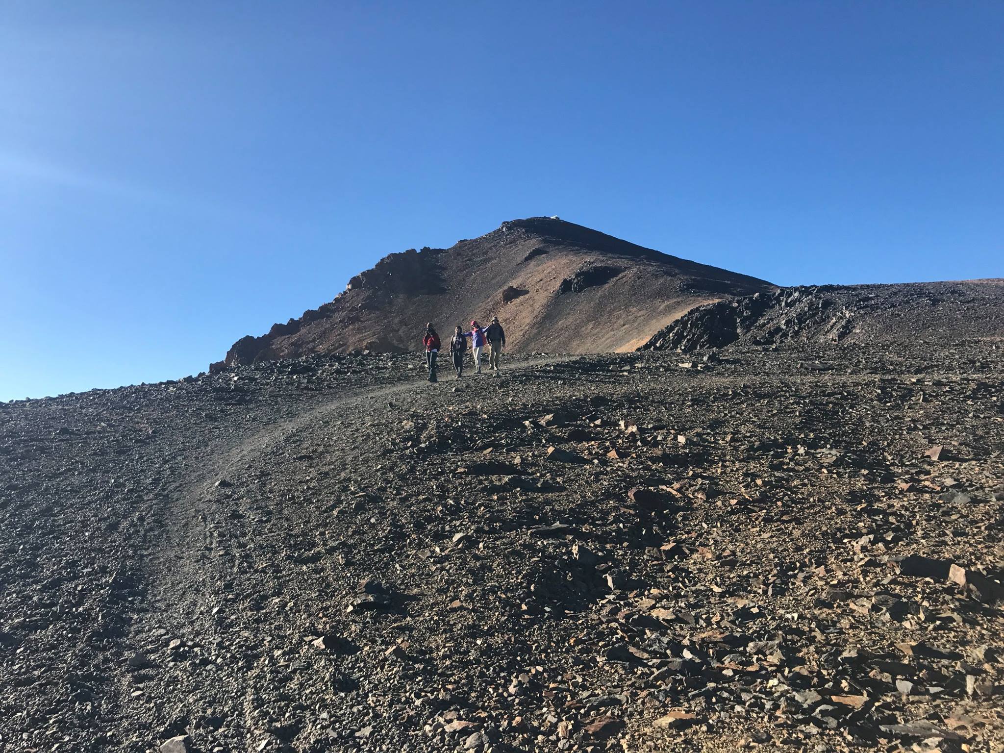
Last weekend, 23 adventurous spirits headed to the White Mountains to collect soil and sediment samples. The sampling locations, carefully chosen by CALeDNA’s Emily Curd, spanned a 10,000 foot elevational gradient and represented a number of habitat types. We spent Friday night at the beautiful facilities at White Mountains Research Station in Bishop. Early Saturday, our citizen scientists got briefed on details and split into five cars to head into the mountains. We made our way up a steep and narrow 4wd canyon road to our destination: the summit. After several hours and a number of unexpected challenges, we hiked and drove to our highest sampling point just shy of the summit at about 14,000ft.
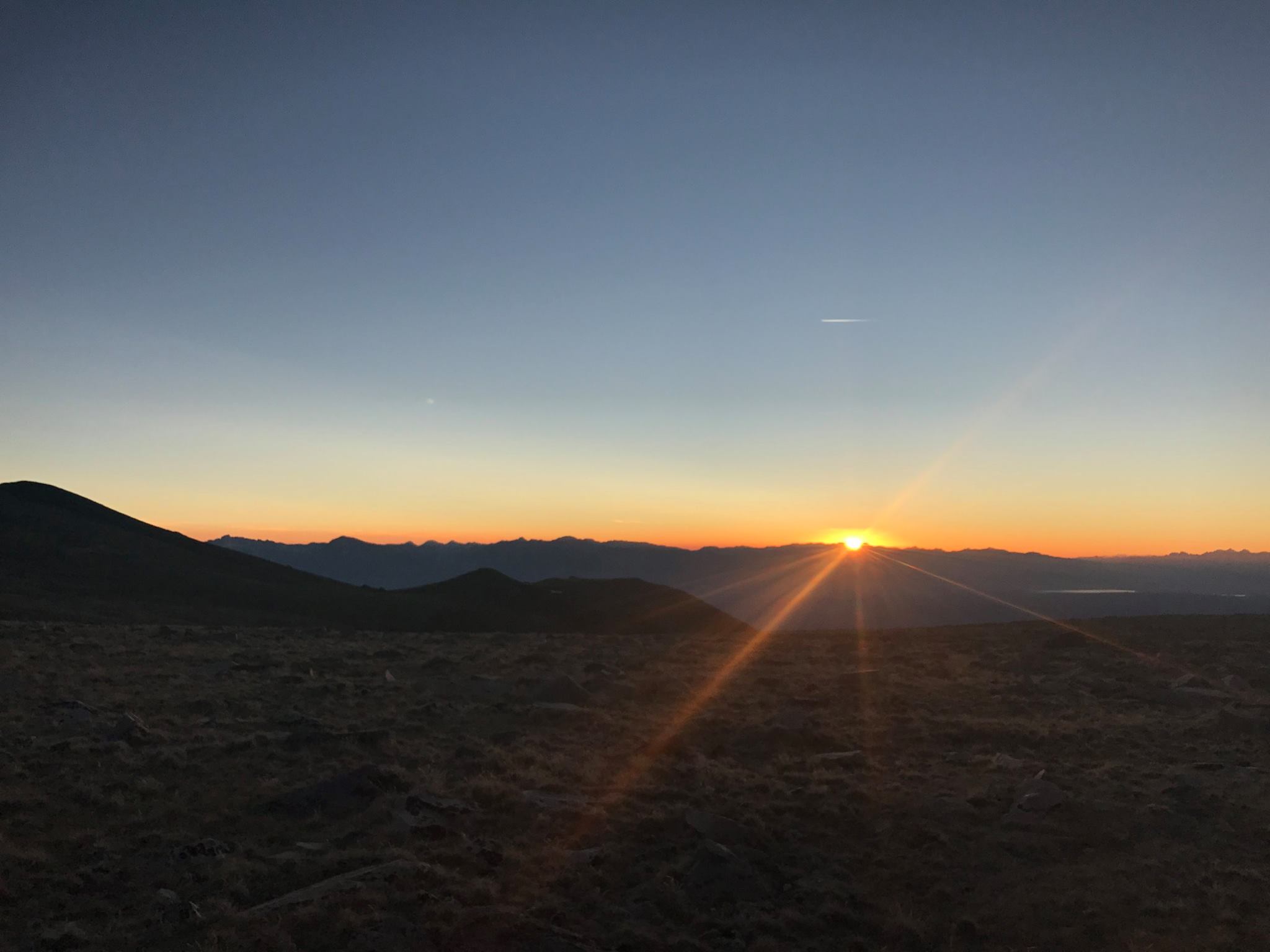
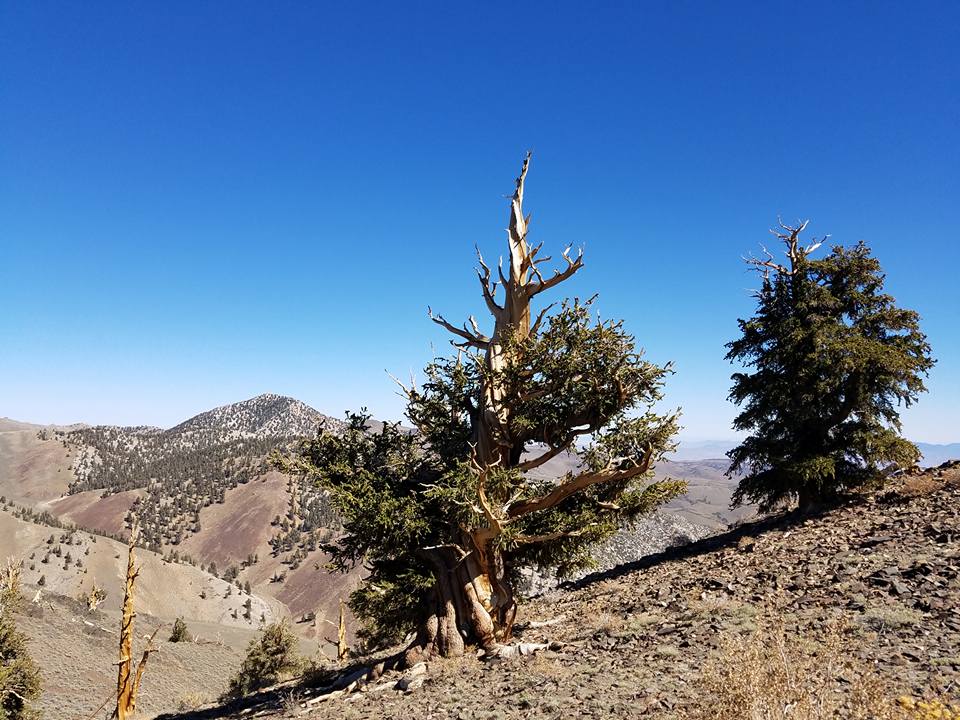
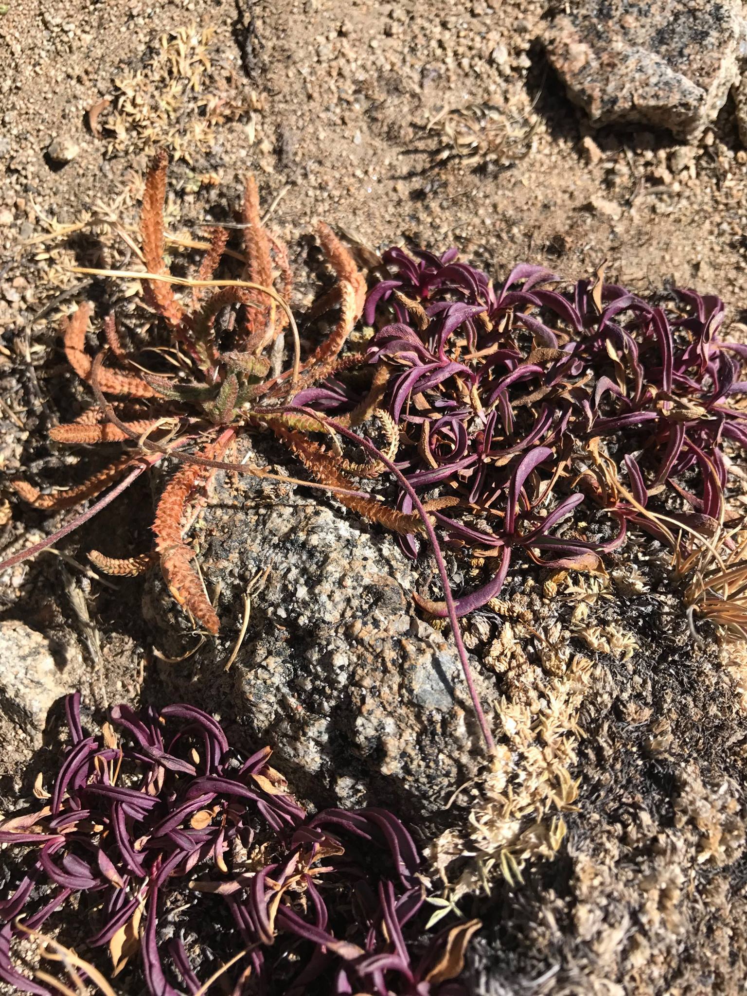
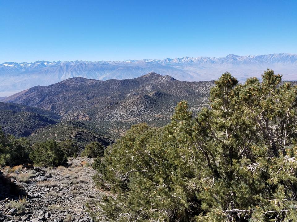
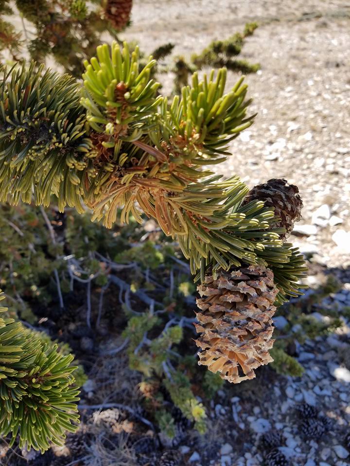
Seeing the diversity of species as we drove ever higher to the summit was quite remarkable. The shrub/scrubland at lower elevation was replaced by pines (including the famous Bristlecone Pines that are thousands of years old--just see the photos!), which then gave way to grasses. As we approached the summit on foot, gasping and feeling the effects of altitude, we noticed that even the grass could no longer hang on, replaced by piles of tumbled rock and the last patches of snowpack from last year. We collected our last sample just as the sun was setting and had the thrill of watching the temperature on our soil meter drop every couple of seconds.
In less than 36 hours, we went from Los Angeles (close to sea level) to the summit of the third highest peak in California! We hit 28 sites in total, which were all spaced far apart, and we left some kits with local citizen scientists who will continue to collect some samples. Can't wait to go back!
